Drones for power transmission corridor inspection now patrol more than 10,000 circuit km of extra-high-voltage infrastructure in Madhya Pradesh. MPPTCL formalised the routine drone patrolling model on 25 November 2025 (MPPTCL, 25 November 2025).
India's transmission network now exceeds 4,85,000 circuit km. POWERGRID alone operates 1,73,815 circuit km and more than 2,90,000 EHV towers on that backbone (POWERGRID, 21 March 2023). This article uses the corridor-payload-compliance triad to map why utilities are replacing manual teams with AI-assisted aerial workflows.
The Indian corridor that drones are now flying
Drones for power transmission corridor inspection have shifted from isolated pilot projects to utility-scale operational deployment. Transmission line drone inspection India crossed the inflection point when Madhya Pradesh Power Transmission Company Limited confirmed routine patrolling on its EHV grid. The coverage now spans more than 10,000 circuit km of lines and 23,000 towers (MPPTCL, 25 November 2025). The patrolled grid runs across the Indore, Bhopal, Jabalpur, Gwalior, and Rewa zones.
The operational problem is geographic before it is technological. A 400 kV transmission corridor can cut through forests, river valleys, flood-prone terrain, and inaccessible hill sectors in a single route segment. Traditional foot patrol teams inspect tower foundations, conductor sag, insulator strings, vegetation encroachment, and structural corrosion manually, and that inspection cycle stretches across weeks for long corridors.
POWERGRID's own transition explains why the model changed. The utility stated on 21 March 2023 that it had begun drone-based transmission line patrolling using in-house micro-category drones (POWERGRID, 21 March 2023). The patrolling system runs with AI-assisted defect identification pipelines for tower imagery, and the inspection workflow no longer ends at image capture. Computer vision models now classify cracked insulators, damaged fittings, thermal anomalies, and vegetation intrusion directly from aerial datasets before maintenance teams deploy physically.
The MPPTCL drone patrolling programme expanded after the first operational phase covered 3,500 km of lines and roughly 10,000 towers (MPPTCL, 7 June 2025). The September 2023 floods near Gwalior reinforced the operational logic, because drone patrol teams reached sectors inaccessible to ground crews during severe waterlogging (MPPTCL, 7 June 2025). Power grid drone inspection India is now a network-management function rather than a periodic inspection service, because the corridor itself has become too large for manual coverage cycles. The framing carries over directly from pipeline and corridor monitoring overview in industries that have already moved this way.
Scaling beyond a 4,85,000 ckm backbone
EHV drone patrolling replaces foot inspection because India's transmission footprint expanded faster than manual capacity. The backbone crossed 4,85,000 circuit km while utilities continued using ground patrol methods built for smaller regional grids (POWERGRID, 21 March 2023).
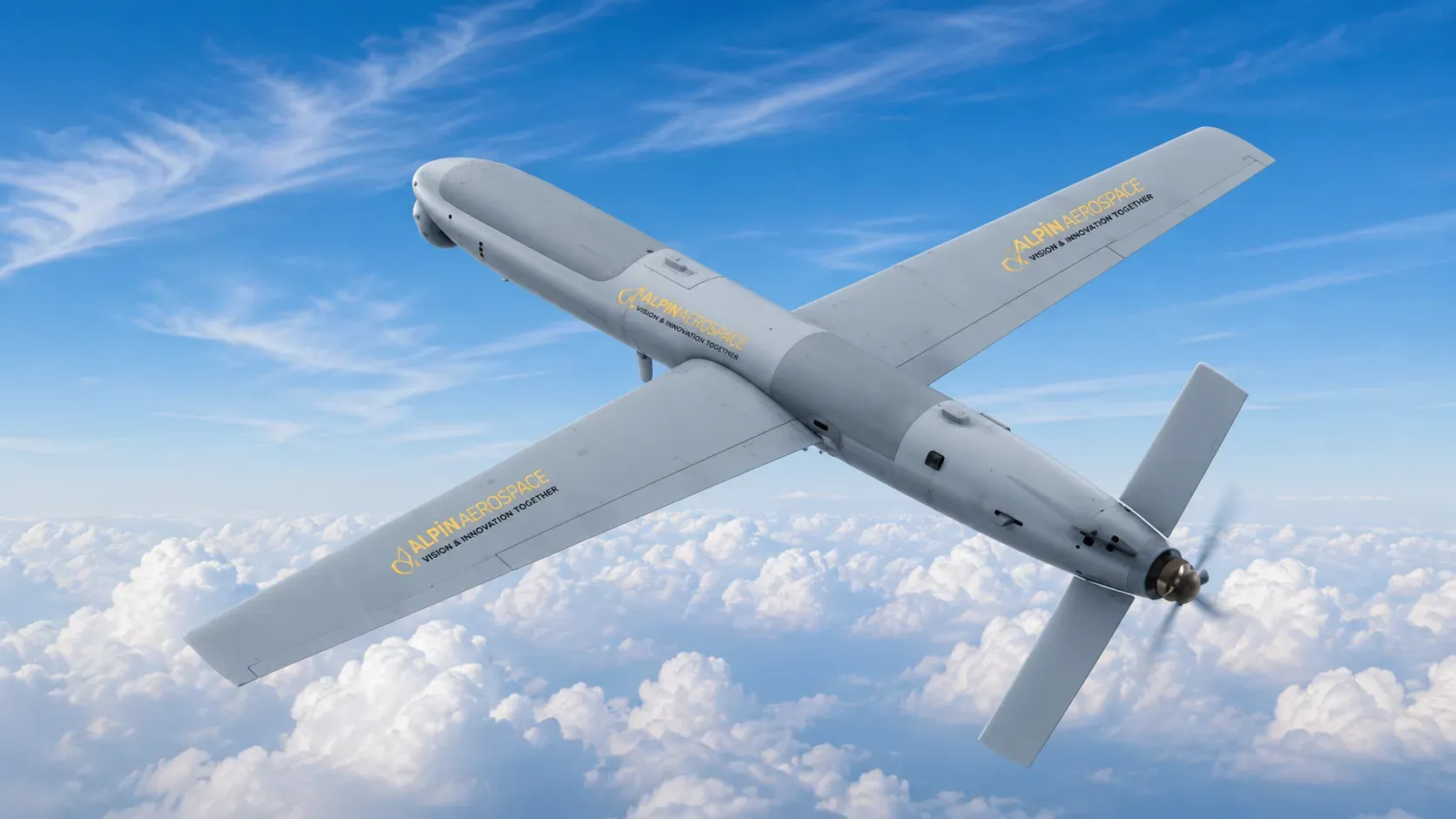
The inspection burden increases sharply with voltage class. A drone inspection 400 kV transmission line mission requires close visual analysis of insulator assemblies, conductor spacing, tower corrosion, bird nesting zones, vegetation growth, and thermal hotspots. The checks run along long stretches of right of way, and ground teams perform them sequentially. Drone operators inspect multiple towers in a single sortie, which is why power line inspection India now operates at utility scale rather than as periodic survey work.
The Telangana State Transmission Corporation pilot demonstrated the operational delta clearly. Telangana's Information Technology, Electronics and Communications Department and TS-TRANSCO completed drone inspections on 220 kV and 132 kV lines (Telangana Government, 16 November 2021). Each tower was inspected in roughly 20 minutes. Foot teams require longer cycles in difficult terrain because physical tower access itself becomes the limiting factor.
Safety exposure also changes materially. Manual patrol teams work near high-voltage assets, unstable terrain, river crossings, and forest corridors. Drone patrol workflows shift the operator to a safer standoff position while maintaining inspection continuity through high-resolution optical payloads and thermal imaging systems.
The economics reinforce the operational argument. Utilities are no longer procuring only inspection labour. They are procuring machine-readable infrastructure datasets that feed predictive maintenance systems, outage forecasting models, and asset-priority engines. That distinction changes the procurement category entirely.
Proving the model: POWERGRID drone tower inspection, MPPTCL, and TS-TRANSCO
POWERGRID drone tower inspection is no longer experimental, because three separate Indian utility deployments already validated the operating model under real conditions. POWERGRID established the central-sector baseline. TS-TRANSCO demonstrated state-level tower inspection feasibility. MPPTCL operationalised routine corridor patrol coverage at scale.
POWERGRID's March 2023 disclosure established the first public utility benchmark for drone tower inspection in India. The utility confirmed drone patrols across EHV lines, AI-assisted defect identification, and integration into a network delivering more than 99 percent system availability (POWERGRID, 21 March 2023). The significance was not the drone flight itself. It was the integration of aerial inspection into routine grid reliability workflows.
TS-TRANSCO proved the state utility model earlier. The Telangana deployment inspected 220 kV and 132 kV transmission towers using drone systems capable of capturing structural imagery without manual tower climbing (Telangana Government, 16 November 2021). The operational benchmark of roughly 20 minutes per tower established a measurable inspection-speed comparison against ground patrol methods.
MPPTCL then scaled the model from pilot status into a network-wide architecture. By June 2025, the utility had completed inspections covering 3,500 km and 10,000 towers. Expansion plans targeted 7,000 km and 23,000 towers (MPPTCL, 7 June 2025). The November 2025 announcement confirmed full operational deployment across major zones (MPPTCL, 25 November 2025).
The comparison matters because each deployment solved a different operational problem.
Utility | Operational focus | Voltage scope | Outcome |
|---|---|---|---|
POWERGRID | AI-assisted EHV corridor patrols | National EHV network | Automated defect-identification workflow |
TS-TRANSCO | Tower inspection speed | 132 kV and 220 kV | Roughly 20-minute inspection cycle per tower |
MPPTCL | Routine corridor operations | Multi-zone EHV network | 10,000+ ckm and 23,000-tower deployment |
The pattern across all three deployments is identical. Utilities are shifting from episodic visual inspection toward continuous aerial data collection.
Layering RGB, thermal, LiDAR, and corona-detection payloads
LiDAR transmission line survey operations and thermal drone inspection power lines missions depend on payload selection more than aircraft selection. The corridor-payload-compliance triad matters because a vegetation-management mission differs operationally from a corona-discharge inspection or a thermal hotspot survey.
RGB optical payloads remain the baseline layer. High-resolution electro-optical sensors capture tower geometry, conductor alignment, insulator integrity, and structural damage. These datasets feed computer vision pipelines trained to identify repeatable asset defects across thousands of towers.
Thermal infrared payloads handle heat anomaly detection. Thermal drone inspection power lines workflows identify overheating connectors, loose fittings, overloaded joints, and phase imbalance conditions before visible damage appears. Utilities use these inspections during preventive maintenance cycles because thermal signatures reveal failure conditions earlier than visual inspection alone.
LiDAR transmission line survey systems solve a different problem. Utilities use LiDAR for corridor modelling, vegetation encroachment mapping, and right-of-way analytics. LiDAR datasets generate terrain-aware three-dimensional models that help measure conductor clearance against trees, terrain elevation, and nearby structures. Drone vegetation management transmission corridor work has become a major use case, because vegetation tripping accounts for a measurable share of grid outages on long EHV routes.
Corona detection payloads extend the mix further for high-voltage environments. Corona cameras identify ultraviolet discharge patterns associated with insulation stress and electrical leakage. These payloads matter more on EHV corridors where environmental contamination and insulator degradation create long-term reliability risks.
The four-payload mix now operates as one mission profile. RGB optical imaging handles structural inspection and AI-assisted defect classification, while thermal infrared handles heat anomaly detection. LiDAR maps the route and the vegetation that crowds it, and corona cameras monitor insulator health on the highest-voltage sectors.
How drones inspect transmission towers now depends heavily on edge inference and machine-assisted analysis. Modern inspection pipelines no longer rely only on pilots reviewing imagery manually. Utilities process aerial datasets through computer vision systems that classify anomalies before engineers review the outputs operationally.
The payload mix also changes the drone category itself under DGCA rules, because sensor weight alters aircraft classification and certification requirements (Ministry of Civil Aviation, 25 August 2021).
Clearing the DGCA and CEA compliance gates
DGCA drone rules transmission inspection workflows operate inside a layered legal framework. The framework spans the DGCA Drone Rules 2021 framework, the Bharatiya Vayuyan Adhiniyam 2024 transition, Central Electricity Authority safety obligations, and Rule 44 insurance requirements. Operators read it as a single sequence, not as separate filings.
The Drone Rules 2021 define DGCA drone categories and weight classes across five bands set by all-up weight. The bands are nano, micro, small, medium, and large (Ministry of Civil Aviation, 25 August 2021). Transmission inspection operators typically fly micro or small-category systems, because payload mixes include thermal sensors, zoom optics, LiDAR units, and industrial communications modules.
Rule 44 third-party drone insurance is mandatory for non-nano operations under the Drone Rules framework (Ministry of Civil Aviation, 25 August 2021). Transmission utilities therefore procure not only flight operations but also operator liability coverage as part of inspection contracts. The full regulatory perimeter is mapped in the drone laws in India pillar reference.
The legal foundation shifted further when the Bharatiya Vayuyan Adhiniyam 2024 replaced the Aircraft Act 1934 as the governing aviation statute (Ministry of Civil Aviation, 21 June 2024). Drone operations continue under the Drone Rules structure, but the parent legal framework governing civil aviation now sits under the updated legislation.
The Central Electricity Authority's Measures Relating to Safety and Electric Supply Regulations 2023 create the parallel utility obligation layer. Transmission licensees must inspect and maintain EHV infrastructure under the CEA framework regardless of whether inspections are manual or aerial (Central Electricity Authority, 11 September 2023). Drone inspection therefore satisfies an existing statutory maintenance obligation rather than creating one.
Operators must also manage the DigitalSky permission flow, Remote Pilot Certificate requirements, airspace restrictions, and operational approvals before flights begin. The platform split between how a drone operator registers under DigitalSky and eGCA determines where each filing actually lands. Long-stretch corridors then introduce an additional problem, because inspection routes frequently exceed standard visual-line-of-sight limits. That operational friction is why Beyond visual line of sight operations approvals now matter directly to utility procurement.
BVLOS and the long-corridor problem
BVLOS drone corridor inspection operations solve the core limitation of visual-line-of-sight flying across long EHV corridors. Transmission infrastructure does not stop at district boundaries, accessible terrain, or short inspection sectors.
A single inter-state route can extend hundreds of kilometres across forests, river valleys, industrial zones, and mountainous sectors. Visual-line-of-sight operations force repeated launch-and-recovery cycles that slow inspection tempo, and Beyond Visual Line of Sight operations reduce those interruptions.
India's policy framework already points toward this transition. The Union Budget's Drone Shakti mission framing announcement on 1 February 2022 explicitly promoted drone-as-a-service operating models for industrial inspection applications (PIB, 14 December 2023). Transmission corridor inspection fits directly into that operational category, because utilities outsource aerial data collection to specialised operators under the same framing.
The remaining constraint is regulatory standardisation. DGCA approvals for long-stretch inspection still operate through controlled permissions rather than a dedicated utility-corridor framework. The dedicated India's drone corridors programme has not yet extended a transmission-specific class, which creates friction for inspection teams managing cross-district or inter-state EHV assets.
This is where corridor mapping, mission autonomy, and AI-assisted route planning intersect operationally. Long-range inspection systems now use terrain-aware route planning, automated waypoint sequencing, and edge-based anomaly tagging to reduce operator workload during extended patrols. The aircraft remains remotely operated, but the inspection workflow itself runs through automated waypoint sequencing and edge inference.
How utilities now buy inspection capacity
Utility drone procurement India is shifting toward persistent inspection capability rather than isolated aerial surveys. Procurement officers now evaluate operators across three variables simultaneously: corridor access capability, payload depth, and regulatory readiness.
The procurement shift changes what utilities expect from operators. A drone vendor is no longer delivering only imagery. Utilities now expect structured inspection datasets, anomaly classification layers, thermal analysis outputs, vegetation-risk mapping, and machine-readable maintenance records. The contracting structure is closer to a drone-as-a-service in India model than to a one-off survey deal.
The procurement model also favours operators capable of handling compliance internally. Utilities now expect contractors to manage Rule 44 insurance, DigitalSky permissions, Remote Pilot Certificate staffing, and corridor-specific approvals. The compliance load no longer escalates to the utility itself.
Drone patrolling EHV lines cost reduction therefore comes from operational compression rather than aircraft substitution alone. Utilities reduce tower-access time, shorten inspection cycles, lower physical exposure for crews, and build reusable digital infrastructure datasets simultaneously. The procurement decision is no longer about whether to use drones. It is about how deep the data deliverable goes.
The next operational bottleneck is workforce capacity. India needs more Remote Pilot Certificate holders trained specifically for EHV operations, thermal payload management, and utility-grade inspection protocols. The state utilities moving first will shape the procurement baseline every other transmission company follows over the next cycle.
India's transmission sector is now entering the phase where drone patrolling becomes default infrastructure policy rather than a pilot project. Kodainya is building toward the AI-assisted corridor intelligence stack that this transition will require.
